
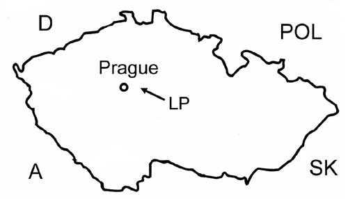
Where?
Position of catchment in the Czech Republic
Lesní potok catchment (LES) is in the Central Bohemia Region of the Czech Republic, approximately 30 km southeast from Prague in National Protected Landscape Voděradské bučiny (Voděradské beechstands).
Basic data
Coordinates: 49º 58’ 35” lat. N, 14º 46’ 40” long. E.
Region: Kolín, Praha východ
Cadastral territory: Jevany, Vyžlovka, Louňovice
Area: 76,5 ha (0.765 km2)
Average annual temperature: ºC
Average annual precipitation: 600–650 mm
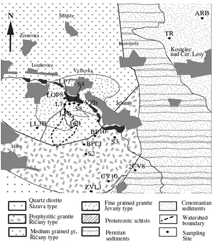
Map of Geology
Geological map of the situation in close vicinity of Lesní potok catchment
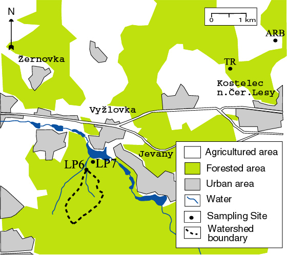
Schematic map
Topographic map of the Lesní potok catchment vicinity
Groups: